


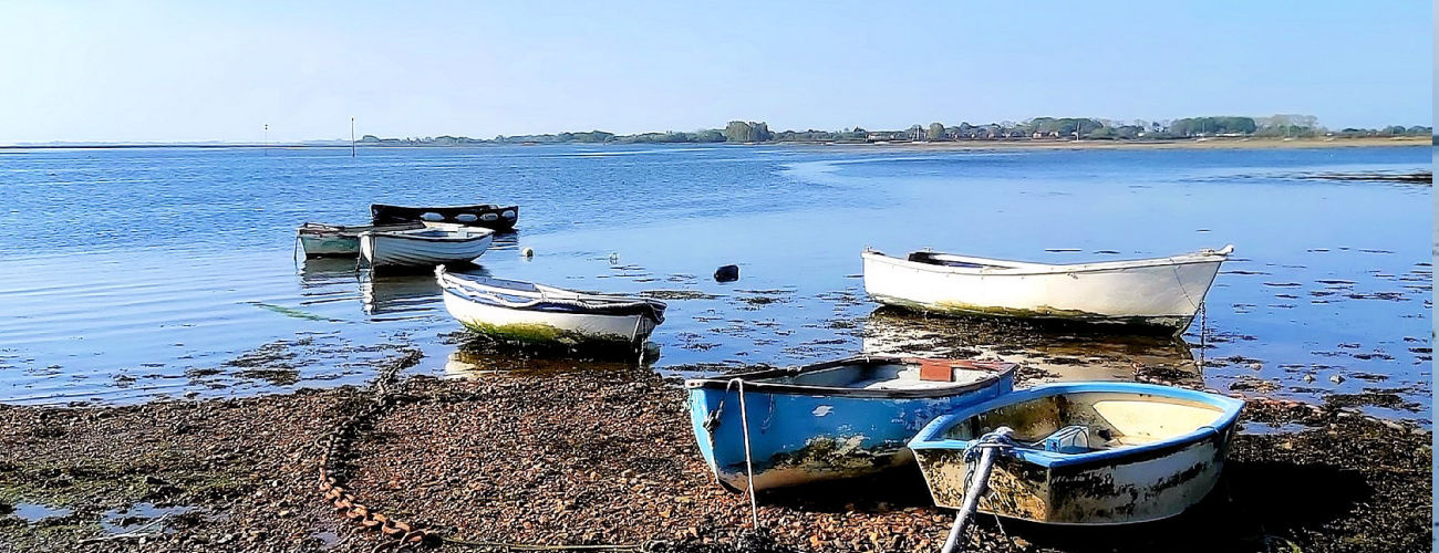

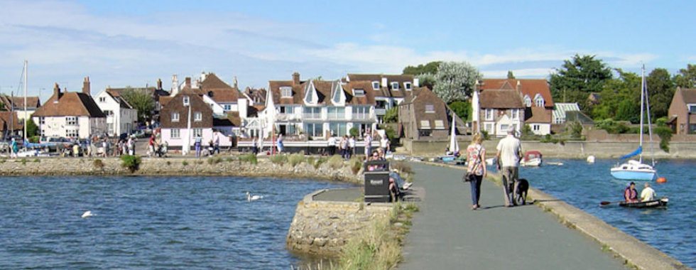

Members of the public have been invited to have their say on the future of development in Southbourne. A public consultation on the Southbourne Development Plan, which is used to identify sites where strategic development might be possible and appropriate, launched yesterday (October 31), and is expected to continue until December 12.
The
launch follows Southbourne’s identification as a ‘Broad
Location for Development’ in the local plan currently under
development, Chichester District Council has said, with
scope for 1,050 dwellings, local employment opportunities
and supporting community uses in the near future. The
consultation means members of the public are formally
invited to make representation based on the contents of the
consultation documents, which will in turn influence the
Development Plan’s later stages. As part of the
consultation, a public exhibition is scheduled to take place
at St John’s Church, Main Road, Southbourne, West Sussex,
PO10 8LB on Wednesday, 20 November 2024 between 2 pm and 7
pm. To access vital consultation documents and submit
comments before the exhibition, visit
https://chichester.oc2.uk/ .
In a
Regulation 18 consultation document associated with the
development plan, Chichester District Council officers made
clear their plans are to ‘grow Southbourne in a
comprehensive manner that sustains a vibrant and sustainable
community. "It will be well supported by services and
new and existing developments will be seamlessly integrated
while embracing its existing character, landscape and
ecological assets,” the document continues.
"Southbourne will connect people with nature, featuring a
network of inclusive open space and a safe and inviting
Green Ring. Active travel will be promoted through direct
and convenient connections. Southbourne will offer a diverse
living environment. The project will deliver essential
services, diverse housing options, and modern
infrastructure, fostering a sustainable, connected, and
dynamic community.”
In
order to inform the site selection process, district council
officers have drawn up three site selection scenarios. Each
scenario accounts for 800 dwellings and their requirements,
on the basis that some 200 dwellings have already been
accounted for by currently proposed plans.
What are the plans? – Scenario 1.
The
first scenario concerns land to the west of Southbourne,
which, if used, would deliver part of the green wing,
provide consolidated education and leisure facilities and
address the unsafe ‘church crossing’ footpath over the
railway.
Under this plan, a new two-form entry Primary School and
community centre could be located adjacent to the existing
Bourne Community College: “This could create a hub of
activity for the village where facilities can be shared
between the existing college and Bourne Leisure Centre with
the new primary school and community centre, ensuring the
use of the facilities are maximised,” plans say.
The
scenario comes with a range of other benefits – like the
fact that the land allocation’s northern side could be
largely facilitated by a single landowner and integrates
well with the local ecology – but developers will need to
accommodate for an existing gas pipeline that runs through
the northern side of the site. The scenario could also a
Brent Geese secondary support area, which would need to be
‘comprehensively mitigated’, according to officers, and the
fact that access points will rely on the delivery of a
vehicular bridge, which could impact costings and
timeframes.
Scenario 2 concerns land to the East of Southbourne, and
officers say it would deliver part of the green ring,
improve pedestrian/ cycle and vehicular connectivity and
reduce pressure on the use of the rail crossing at Inlands
Road, which has been identified as a safety concern.
This
scenario envisions the delivery of a new vehicular bridge
which would connect the A259 to Priors Leaze Lane through
parcels of land east of Inlands Road, easing pressure from
the crossing at Inlands Lane and congestion at the Stein
Road crossing.
Locating the proposed primary school to the east of the
village will help spread education provision throughout
Southbourne, making it easier to access and spreading
traffic more evenly throughout the community. This eastern
location would also benefit from connecting to the Green
Ring, benefitting from easy access to nature, walking and
cycling routes. It would also retain a large landscape
corridor to the wildlife area, and could potentially
integrate existing watercourses with with a blue and green
infrastructure strategy. Much like in Scenario 1, a
key concern with this strategy, officers say, is the need to
accommodate an existing gas pipe which runs through the
northern side of the scenario. The pipeline connects to a
northern access point, which means this second option might
require consultation on an access road near Stein Road.
Unlike the previous strategy, this scenario includes
multiple land owners and planning applications, meaning some
of the sites may be developed in isolation, making it hard
to ensure each development comes forward to cohere with the
others. This represents a mix of the previous two
options, distributing development across the east and west
of the village. If approved, this version of the development
plan should deliver most of the Green Ring, providing new
educational facilities, as well as safe pedestrian and cycle
access over the railway line – but not vehicle access.
One
of the main benefits of this plan, officers say, is the way
in which it minimises the risk around access and delivery,
since it does not include plans to build a multi-modal
bridge, maximising land that is more readily accessible via
the proposed access from Stein Road into land from the East
and West.
Scenario 3
Like
Scenario 2, this version of the plan will spread out
education provision across Southbourne, distributing traffic
across the village, and proposes a more ‘balanced spatial
growth pattern’ that’s better aligned with the shape and
form of Southbourne, retaining flexibility for future growth
if required. Officers have nonetheless expressed some
concerns with this plan, however; The existing pipeline
running through much of the north zone has a consultation
area of 120 metres, which runs through the northern access
point, connecting the development east to west. As a result,
Officers would need to also consult on proposals for an
access road.
Scenario 3 is also likely to affect the Brent Geese
mitigation area, although not to the same extent as Scenario
1. Like Scenario 2, this plan concerns multiple land owners
and a range of distinct planning applications, likely
requiring even more coordination.
Finally, the project does not totally alleviate concerns
around the capacity of local road networks to cope with the
additional demand, in particular the Stein Road and Inlands
Road Level Crossing areas.
Sussex World 1st November
Page updated:
Monday February 03, 2025